EO4Cultivar/Agri-track (Environment Systems) (IPP funded)
http://www.envsys.co.uk/agriculture
Overview
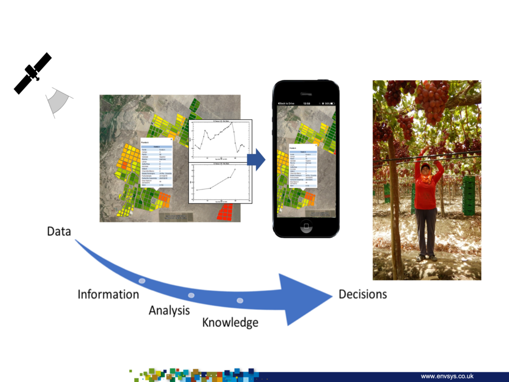
Agri-track enables agri-businesses to receive up-to- date crop monitoring and forecasting information in formats they are familiar with (data, alerts, maps) that are compatible with their own corporate or crop management systems, enabling them to make near-real time decisions based on crop intelligence that scales from the field to countrywide. Crop- specific monitoring and forecasting data includes yield estimates, growth stage, harvest timing and field-level leaf stress estimates.

Solution benefits
- Agri-track provides ready to use, near real time, crop-specific monitoring and forecasting data for a wide variety of crops around the world.
- Crop-specific monitoring and forecasting data for production status: yield estimates, growth stage, harvest timing and field-level leaf stress estimates.
- Multiple scales of information: field, farm, regional and countrywide, including regional estimates of area and yield.
- Regional crop maps showing inter-seasonal change.
- Receive regular crop production data regardless of the weather for key commercial crops in developing countries for growers and crop traders.
- Regional and national crop mapping for market intelligence and food security planning for crop traders, NGOs and government.
- Up-to-date intelligence informs planning
and management bringing many benefits in agronomy, management and crop intelligence. - Aggregated data (e.g. from multiple farms) for effective decision making at board and senior management levels.
- Automated capture of field boundaries at farm to regional scale, bringing opportunities for improved data capture and management in developing countries.
Key technical features
- Data can be directly fed to existing crop management systems or bespoke client platforms from Agri-track.
- Crop specific data is provided as a GIS map layers, alerts and/or spreadsheets.
- Standalone cloud-based subscription service accessible via desktop and mobile devices. Broadband connection speed is required.
- Updates of crop production analytics: every
6 to 12 days using Sentinel-1 and Sentinel-2 satellite imagery, commercial EO data can be incorporated if required. - Spatial resolution of 10 metre.
- Training and support provided to ensure successful adoption by users.
- Support organisations to find open source solutions if needed.
- Ready to use crop production analytics are available on Agri Track, approximately 48 hours after the satellite imagery becomes available from ESA.
Case studies
Monitoring and estimating/forecasting asparagus production with Danper, Peru, supported by IPP. Danper is the largest exporter of fresh asparagus in Peru. As a partner in EO4cultivar, Danper regularly upload data from the Environment Systems data services to their crop management system for an area of over 1750 hectares of asparagus. The system combines satellite derived data with other management and agronomy data. Field managers consult the system to guide field visits saving time and money.
Organisation overview
Environment Systems is an established environmental and agricultural data company, providing trusted evidence and insight to governments and industry across the world since 2003.
The consultancy delivers bespoke advice and solutions for land management, monitoring and policy for ecosystems, natural capital evaluation, agricultural trials and agricultural supply chains. The company’s satellite data services (https://data.envsys.co.uk/) deliver always-on, accessible open data insights from satellite Earth observations (EO) analytics.

