Land Resource Evaluation Service for Agricultural Activity and Production (Booker Tate)
http://www.booker-tate.co.uk
Overview
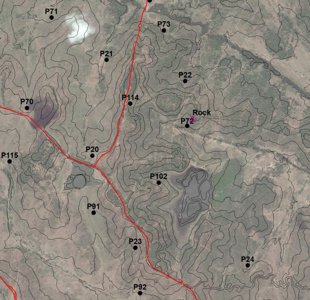
High resolution Earth observation (EO) imagery and digital surface models are used to provide rapid assessment of land resources for defining Areas of Interest (AOI) for more specific ground truthing via detailed topographical, soil and geotechnical surveys to assess land agriculture potential. This gives a rapid assessment of land potential for agriculture by survey teams precisely targeting potential agricultural productive zones and discounting areas of obvious unsuitability or ecological sensitivity.
Solution benefits
- Provides cost-effective and rapid assessment of land resources for agricultural use.
- Provides current information on land resources, for example detailed contour information.
- Low cost compared to ground-based approaches, for example survey teams, for land assessment.
- Allows rapid identification of the most productive areas for agricultural development.
Key technical features
- Provides topographical, soil and geotechnical information to assess land potential.
- Forms part of a more comprehensive land resource assessment system.
- Can use free EO data e.g. Google Earth, QGIS, Sentinel-2, and also costed data provided as a pay-for service e.g. LIDAR, unmanned aerial vehicle (UAV) imagery.
- Spatial resolution is tailored to the level of study, for example, reconnaissance or detailed feasibility study.
- Data obtained and updated as and when required by the project, such as weekly crop observation imagery from Sentinel.
- Data analysis performed on local computing infrastructure and/or utilisation of the cloud environment.
Case studies
The use of high-resolution EO imagery and digital surface models is employed in Booker Tate’s studies to assess the agriculture potential of green field or brown field sites, primarily for the cultivation of sugarcane and associated crops. Such techniques are particularly valuable where irrigation is to be used and therefore a highly accurate level of surface contouring is required. However, in most cases the assessment of drainage requirements and capacity are also of high importance in estate or lands planning. Recent land assessments have been carried out for clients in Mozambique, Nigeria and Indonesia. Current clients include the Royal Eswatini Sugar Corporation, IFC with the Government of Ethiopia, Rezatec Ltd in the UK and two on-going projects in Indonesia.
Organisation overview
Booker Tate is a leading international agricultural production and processing consultancy that supports clients to bring new agricultural
projects to realisation, and helps clients achieve performance improvements within existing projects in an environmentally, socially and economically sustainable manner.
