SIBELIUs – Providing Alerts for the Emergency Services in Mongolia (IPP Project Blog)
The SIBELIUs project has been working in collaboration with Mongolia’s National Agency for Meteorology and Environmental Monitoring (NAMEM) and the PRISM initiative, supported by the United Nations World Food Programme (WFP) to ensure that Mongolia’s National Emergency Management Agency (NEMA) are alerted to adverse environmental conditions that might impact on Mongolia’s large herding community. This project is supported by the UK Space Agency’s International Partnership Programme (IPP) and funded through the Global Challenges Research Fund (GCRF).

A Mongolian herder going on “otor”, which means moving his livestock in search of better pasture, from Khisigundur in the Bulgan region. Photo: Batbuyan Batjav.
Nearly a third of the Mongolian population make their livelihood from traditional forms of livestock herding, however, these communities can be exposed to extreme environmental events known as ‘dzuds’, which are characterised by dry, arid summers, adversely affecting pasture growth, followed by extreme cold and snow in winter leading to a subsequent loss of livestock. Dzuds can devastate animal numbers and livelihoods, with resulting social and economic damage.

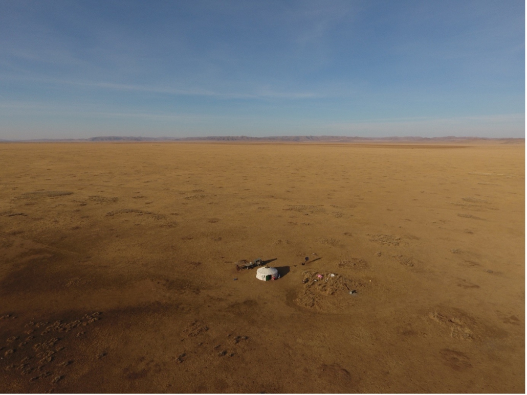
A herders’ campsite comprising a traditional Mongolian ger, in the Khentii province. Photo: Batbuyan Batjav.
The overall aim of the collaboration between NAMEM, NEMA, PRISM and SIBELIUs has been to deliver regular, year-round information about pasture, snow and drought conditions, to alert the emergency services, as soon as possible if dzud conditions are starting to develop. If the risk of an impending dzud can be detected in early summer it gives time for mitigation measures to be put in place before the winter comes, which is when the full impact of a dzud is eventually felt.
NAMEM has always appreciated the value of international collaboration as a means for sharing ideas and staying up to date with the latest technological breakthroughs. Over recent years the collaboration with the SIBELIUs project, supported by the UK Space Agency and PRISM, supported by the World Food Programme, have been particularly fruitful.

eOsphere’s Filippo Contenta providing a training workshop at NAMEM, focused on Python software coding for Data Cube analysis.
The SIBELIUs project has introduced NAMEM to a new concept, known as an Open Data Cubes, for storing and handling large volumes of satellite data and derived environmental products. Meanwhile, the WFP PRISM team have brought a wealth of experience in using satellite data to inform decision-making, particularly for disaster risk reduction, built from working in many countries around the world. WFP has previously deployed versions of PRISM in Indonesia, Sri Lanka, and Cambodia for monitoring and predicting droughts and floods using remote-sensing data. These pilot projects have successfully leveraged the increased availability of satellite data to provide early warning alerts to officers on the ground who are engaged in disaster risk reduction, so they can assess the situation and plan their response.
The joint NAMEM, NEMA, PRISM, SIBELIUs team has successfully linked the satellite derived products being derived and stored in the Mongolian Data Cube with the PRISM system to feed key products to NEMA staff, so that the emergency response teams can make more informed decisions when preparing for difficult winter conditions, with the ultimate goal of mitigating the risk of dzud and enhancing herders’ resilience capacity.

From satellite to the PRISM dashboard, via the Mongolian Data Cube. Photo: WFP.
NEMA, as the national agency tasked with managing disaster preparedness and response activities, requires information on the extent and severity of natural hazards alongside statistics on vulnerable groups, and local capacities to mitigate risks. PRISM brings all of this information together in a single, user-friendly dashboard. In addition to integrating the Mongolian Data Cube into PRISM, the system also connects to a series of relevant data from the National Statistics Office (NSO) on vulnerability, demographics, and the distribution of herders and their livestock. In addition, WFP has supported NAMEM to make their own ground observation data more readily accessible including visualizing this data within PRISM. With all of these components in place, PRISM enables NEMA to have a bird’s eye-view of hazards, exposure, and vulnerability across the country, and to zoom into areas of high risk to plan risk mitigation activities including cooperation with the international community to take early actions that can help to reduce the loss of livestock and livelihoods.