Deprecated: Function get_page_by_title is deprecated since version 6.2.0! Use WP_Query instead. in
/opt/bitnami/apps/wordpress/htdocs/wp-includes/functions.php on line
6078
Deprecated: Function get_page_by_title is deprecated since version 6.2.0! Use WP_Query instead. in
/opt/bitnami/apps/wordpress/htdocs/wp-includes/functions.php on line
6078
You are here: Home1 / Oceans (Blue Economy)
Sector: Oceans (Blue Economy)
https://www.spacefordevelopment.org/wp-content/uploads/2020/09/UK-Space-Agency-IPP-Midline-Evaluation-pdf-724x1024-1.jpg
1024
724
Caribou Space
https://www.spacefordevelopment.org/wp-content/uploads/2025/06/Caribou_Logo_Primary_White.svg
Caribou Space2020-09-08 11:39:292021-06-05 06:06:58Development from Space: A Summary of the IPP Midline Evaluation
https://www.spacefordevelopment.org/wp-content/uploads/2025/06/Caribou_Logo_Primary_White.svg
0
0
Caribou Space
https://www.spacefordevelopment.org/wp-content/uploads/2025/06/Caribou_Logo_Primary_White.svg
Caribou Space2020-07-22 07:46:412021-06-05 06:11:05Earth and Sea Observation System (EASOS) (IPP Case Study)
https://www.spacefordevelopment.org/wp-content/uploads/2025/06/Caribou_Logo_Primary_White.svg
0
0
Caribou Space
https://www.spacefordevelopment.org/wp-content/uploads/2025/06/Caribou_Logo_Primary_White.svg
Caribou Space2019-10-10 19:15:142021-06-05 06:26:48Economic evaluation of the International Partnership Programme (IPP): Cost-effectiveness Analysis
https://www.spacefordevelopment.org/wp-content/uploads/2020/12/Fish-1.png
902
1353
Caribou Space
https://www.spacefordevelopment.org/wp-content/uploads/2025/06/Caribou_Logo_Primary_White.svg
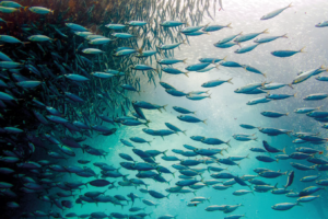
Caribou Space2020-12-11 16:23:202021-06-05 09:34:37New White Paper Highlights New Technology’s Potential in Sustainable Fisheries
https://www.spacefordevelopment.org/wp-content/uploads/2020/06/jakob-owens-x1noB3hon_Q-unsplash-scaled.jpg
1793
2560
Niamh Barry, Caribou Space
https://www.spacefordevelopment.org/wp-content/uploads/2025/06/Caribou_Logo_Primary_White.svg
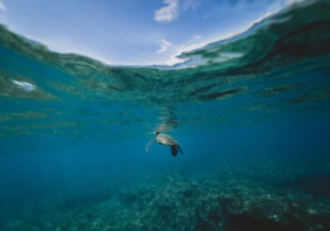
Niamh Barry, Caribou Space2020-06-21 08:12:392021-06-05 09:38:58World Ocean Day – Sustainable Innovation for our Oceans
https://www.spacefordevelopment.org/wp-content/uploads/2019/07/timothy-k-1CiE1x4dHIY-unsplash-scaled.jpg
1707
2560
Satellite Applications Catapult
https://www.spacefordevelopment.org/wp-content/uploads/2025/06/Caribou_Logo_Primary_White.svg
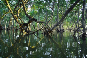
Satellite Applications Catapult2019-07-18 17:36:282021-06-05 09:45:40Earth and Sea Observation System (EASOS)