Space for Policy in Developing Countries
This research is published by Caribou Space and London Economics on behalf of UK Space Agency International Partnership Progrmame.
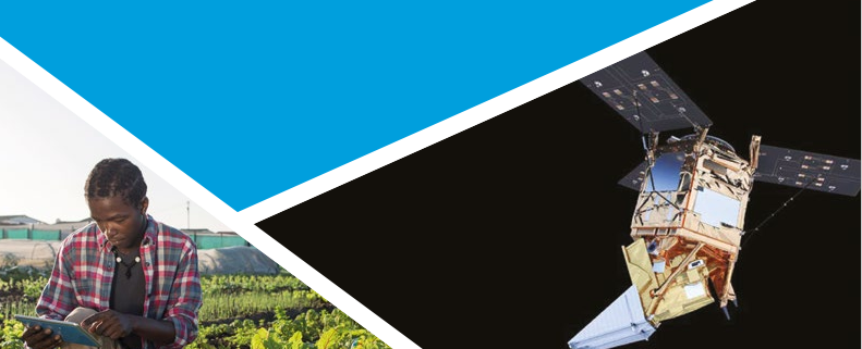
It aims to evidence the use of satellite-derived technologies as a tool to support government policy across five areas in developing countries: agriculture, climate change and the environment, disaster resilience, forestry, and urban and transport.
The evidence is intended to showcase the use cases and value of satellite technologies, and to support the increased exploitation of satellite technologies across policy making in developing countries. The UK Space Agency’s International Partnership Programme provides active support for the exploitation of space solutions in developing countries and provides many of the examples considered in this research. Specific findings include the following:
- Agriculture: Most applications of space in agriculture, such as rural payments and insurance products, aim to stabilise the incomes of farmers at low cost. Space solutions can also assist governments to maintain food security and plan for disasters, by providing early warning information and risk identification to support advance planning and mitigation. Earth observation (EO) can also provide accurate, updated maps of natural resources to support sustainable management.
- Climate: Satellite data provide rich information about climate and environmental conditions. Satellite data can be used to optimise renewable energy production and to underpin models that predict climate change risks and inform adaptation and mitigation strategies.
- Disaster resilience: The use of satellite data can enhance disaster resilience by informing disaster preparedness, resilience and response. It can increase the survival and recovery rates of populations and economies in developing countries.
- Forestry: Satellite imagery provides accurate, cost-effective surveillance and monitoring of forestry resources at frequent intervals so that changes to land coverage can be monitored and detected quickly. This means that illegal logging, or outbreaks of pests and diseases, can be detected quickly and at lower cost than through other methods of data collection.
- Urban and transport: Satellite technologies offer a powerful data source for governments that need to inform urban planning and update property databases in the face of rapid urban change. EO is useful for land use and change detection; traffic data can be used to detect hotspots of activity; and location data can support the development of universal geographic reference systems.


