Ecometrica Forests 2020 Innovations: Forest Sentinel
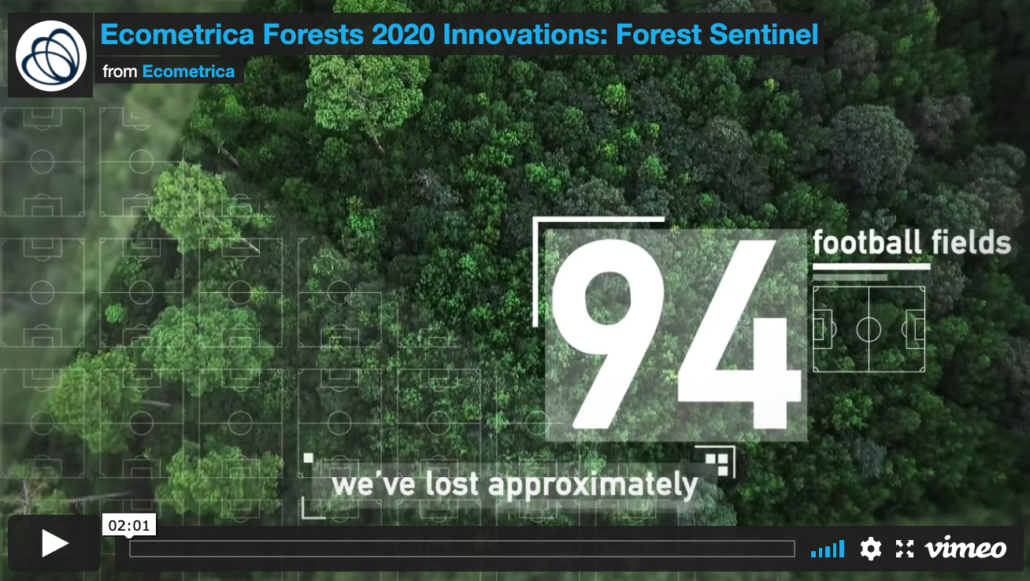
Modern earth observation satellites can provide frequent images which cover the whole planet. Using Sentinel 1 and 2, the European Copernicus programme provides free and open, radar and optical, satellite data every 5-6 days. These images enable us to see small disturbances on the ground, and can even detect the removal of a single tree through selective logging.
Using this data, The National Centre for Earth Observation at the University of Leicester has developed a near-real-time deforestation alert system called Forest Sentinel.

