Satellite Data Services: Near Real Time Imagery (Environment Systems)
https://data.envsys.co.uk
Overview
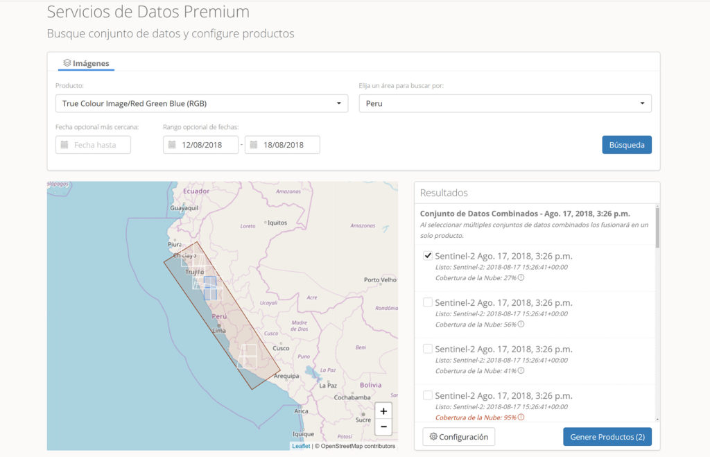
Satellite Data Services is a cloud-based service delivering access to near-real time analysis-ready satellite imagery and derived products from the Sentinel-1 and 2 satellites. We handle pre- processing and associated costs, so you do not have to. Low cost monthly or annual subscriptions give users access to analysis ready satellite data under an open data licence for applications to help detect, monitor and measure land-based activity and change over time.
Solution benefits
- A low cost, easy to use subscription service of ready to use imagery and data products from optical and radar Sentinel satellites.
- On demand access to processed, ready to use, global Earth observation (EO) imagery for your key geographic areas of interest.
- On demand analytics of land and water to give you current state of agriculture and environment from field to farm, to national coverage.
- Analyse historic agricultural and environmental metrics and identify trends from satellite indices, such as crop performance, natural resource management and risk management.
- Satellite Data Services products are a key input for modelling, monitoring, land management, and policy formulation.
- Metrics collection in all-weather, including night time and cloudy conditions, from radar satellites.
- Access your data directly for repeated delivery.
- Data published under open data licence giving you freedom to use our data for commercial and non-commercial purposes.
- Technical support including webinars, use of open source GIS software, bespoke solutions (consultancy, email and phone).
- Interactive demonstrator to showcase uses (https://data.envsys.co.uk/demonstrator).
Key technical features
- Processes Sentinel-1 and Sentinel-2 imagery: 10 metre resolution on a 6-12-day image refresh cycle.
- Georeferenced and atmospherically corrected data, on a per-tile basis, based upon Sentinel-2 tiling grid to enable consistent analysis and easy integration with other georeferenced data.
- Customised automatic optical imagery cloud detection routine to support your analysis planning.
- Terrain flattened imagery as standard to give you more spatially consistent data into your analysis.
- Operated within a cloud-based infrastructure, which is accessible via a browser or application programming interface (API).
- OpenAPI compliant with the Swagger/YAML standard to help you rapidly connect your system to the data services programmatically.
- Standards-based data file formats e.g. TIFF for easy use in the widest range of GIS and business intelligence systems.
- Open data licence (CC-BY-SA-4.0) which gives you complete flexibility in using and sharing the data how you need to.
- ISO19139 compliant metadata which gives you standards-based descriptions of the data services products, so you know exactly what you are getting.
Case studies
Deployed with Tecbaco a leading international banana exporter in Colombia. Tecbaco are leaders in technology adoption and use a crop management system to manage operations, such as irrigation scheduling. Tecbaco are integrating imagery and metrics from the Environment Services Data Services, gaining valuable insights: to target agronomy checks, inform investment and management decisions, regional understanding of crops distribution and change, supply chain transparency, and support sustainable use of natural resources.
Organisation overview
Environment Systems is an established environmental and agricultural data company, providing trusted evidence and insight to governments and industry across the world since 2003. The consultancy delivers bespoke advice and solutions for land management, monitoring and policy for ecosystems, natural capital evaluation, agricultural trials and agricultural supply chains. The company’s satellite data services deliver always-on, accessible open data insights from satellite EO analytics.