Marine Environment Monitoring (eOsphere)
http://www.eosphere.co.uk
Overview
eOsphere satellite ground receiving stations are installed in countries worldwide (including Indonesia, China, Ecuador and Malaysia) allowing agencies to detect and monitor the marine environment using medium resolution visible and thermal-infrared Earth observation (EO) imagery to determine ocean water quality and sea surface temperature. These EO derived ocean products can be used to monitor the health and productivity of marine habitats, increasingly under pressure from human activity and climate change, by detecting oil slicks, algal blooms, high chlorophyll and suspended matter concentrations and ocean fronts.
Solution benefits
- Ocean water quality measures such as chlorophyll, suspended matter and sea surface temperature can be measured.
- These EO derived ocean products can be used to monitor the health and productivity of marine habitats, increasingly under pressure from human activity and climate change, by detecting oil slicks, algal blooms, high chlorophyll and suspended matter concentrations and ocean fronts.
- The satellite ground station provides automated reception and processing of EO data to enable ocean quality products to be generated in near real time, typically within a few minutes of each satellite overpass.
- Large areas can be monitored many times each day in all but the cloudiest conditions or can be used to generate daily, weekly or longer aggregated cloud free datasets for climate data records.
Key technical features
- The satellite ground station typically includes a 2.4 to 3.0 metre tracking antenna with X-band front end, satellites receiver, high specification ingest and processing systems for automated scheduling, real-time reception, ingestion and processing of the direct broadcast downlinks from the EOS Terra & Aqua (MODIS), Suomi-NPP & NOAA-20 (VIIRS) and Feng Yun 3 (MERSI) meteorological satellites.
- Narrow optical channels on polar orbiting meteorological satellites such as EOS Terra & Aqua and Suomi-NPP & NOAA 20.
- Sea surface temperature measured using multiple thermal infrared channels.
- The satellites used are all free-to-air (i.e. no licensing costs), providing the multiple medium resolution (250 metre to 1 kilometre), visible and thermal- infrared imaging radiometre channels required for routinely monitoring ocean water quality.
- Typically, 4-6 satellite overpasses per day from four satellites, with swath widths of between 2,300 kilometres and 3,000 kilometres, are used to detect and monitor ocean water quality multiple times every day within ~3,000 kilometres of the satellite ground station.
- Ocean water quality products include maps of water leaving radiances, angstrom coefficients, chlorophyll-a concentration, K490 index, coloured dissolved organic matter, particular organic and inorganic carbon, total suspended matter, fluorescence and sea surface temperature.
- In addition to ocean water quality products the eOsphere solution can be used to deliver many other medium resolution environment products including cloud mask, type and optical properties, vegetation indices, aerosols, atmospheric vertical profiles, land and sea surface temperature, land use classification, hot spot detection, snow and sea ice.
- The eOsphere solution is a complete standalone automated end-to-end system from scheduling for reception of satellite overpasses to delivery of ocean water quality products to geospatial databases and web-sites.
- The eOsphere solution includes a fully featured visualisation system for display of satellite imagery and products, along with tools for re-projection, re-sampling, aggregation, re- formatting and delivery of products.
- eOsphere offers a complete solution including requirements specification, delivery, installation and commissioning of all equipment, full integration with end-user’s infrastructure, training and ongoing maintenance and support. The user does not need existing or additional IT infrastructure.
Case studies
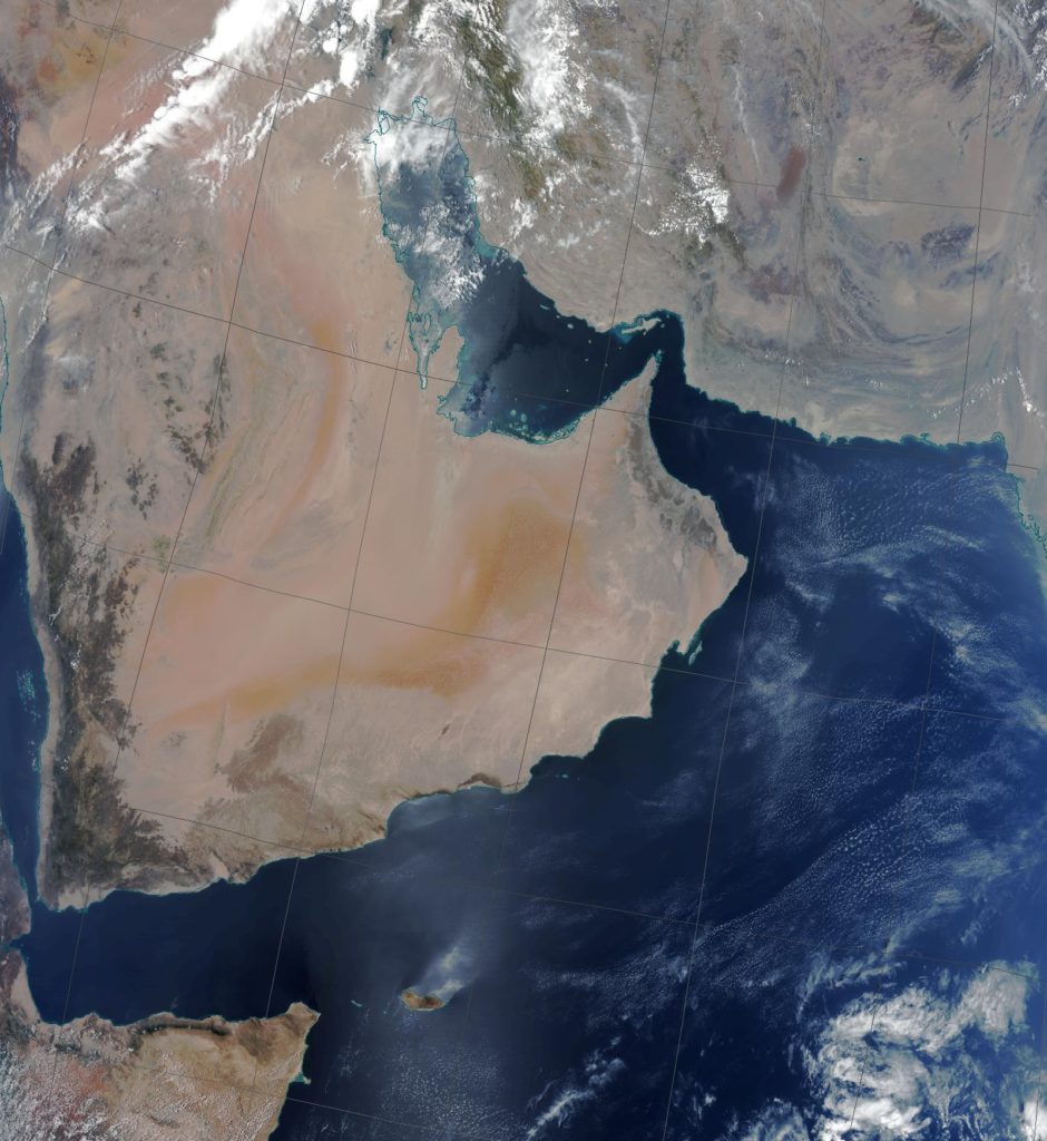
Regional Organisation for Protection of Marine Environment (ROPME) – The eOsphere Marine Environment Monitoring system was supplied
to them in 2018. ROPME is a multi-national organisation established to monitor the marine environment in the Arabian Gulf and around the Arabian Peninsular.
Shanghai Ocean University (SHOU) – The eOsphere Marine Environment Monitoring system was supplied to them in 2007, upgraded for reception of new polar orbiting and geostationary satellites in 2013 and 2015 and technology refreshed in 2018. The system is used as a teaching tool for ocean remote sensing and undertakes research into the marine environment of the Chinese sea areas.
Organisation overview
eOsphere was established in 2001 and is strongly focused on solving real remote sensing problems for a range of customers and end users. Key application areas include the provision of affordable satellite ground receiving stations for environmental and hazard monitoring.
