Advanced Coffee Crop Optimisation for Rural Development (ACCORD) (Earth-i) (IPP funded)
www.earthi.space
Overview
Advanced Coffee Crop Optimisation for Rural Development (ACCORD) provides proactive, targeted crop management information to improve the livelihoods and incomes of smallholder coffee farmers in Rwanda and Kenya. The crop management advice, which is delivered via a mobile app, is derived from satellite Earth observation (EO) and advanced micro-climate information. The information helps to make significant improvements to coffee crop quality and yield, allowing farmers to achieve higher incomes for their work and improve the quality of life for their families.
Solution benefits
- Proactive, customised, geo-targeted advice aimed at improving yields and the quality of coffee produced by small-holder coffee farmers in Kenya and Rwanda.
- Crop health monitoring and detailed, short- term, farm-targeted weather forecasts for coffee smallholders.
- Automated pest and disease warnings enabling farmers to take both preventative measures and more accurate reactive measures when dealing with coffee pests and diseases.
- Alert system enabling agronomists and farmers to communicate with each other.
- Improving the quality and yield of the coffee crop will help to secure higher prices allowing farmers to achieve higher incomes and improving the quality of life for their families.
Key technical features
- The ACCORD mobile app delivers targeted crop management information, utilising a unique mixture of multi-spectrum satellite EO imagery with highly localised and accurate weather data and pest & disease alert models.
- The custom weather model uses a mixture of historical data, and live data to provide geo-targeted, highly accurate weather forecasts.
- EO data provides a reliable, independent and cost-effective way to monitor the Normalized Difference Vegetation Index (NDVI) of crops. NDVI is an indicator of crop health and is used to detect the early warning signs of deterioration and the presence of pests or diseases.
- ACCORD uses a combination of optical satellites, such as Sentinel and the DMC3/TripleSat constellation, to ensure the correct resolution of data is being acquired and balanced with cost-effectiveness.
- Spatial resolution varies from free sources such as Sentinel’s 20 metre, to commercial imagery ranging from 5 metre to 0.8 metre depending on the specific use.
- The ACCORD solution will use a cloud-based web platform to display data and mobile app for use in the field via their mobile. Information is delivered by a mobile phone app or SMS. A farmer will require a mobile network to receive an SMS, but not necessarily data.
Case studies
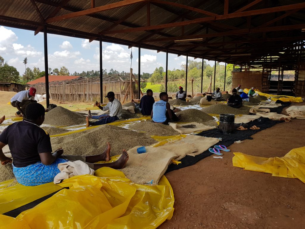
Coffee is one of the world’s premium quality crops, but farmers lack access to timely and accurate weather data to help them improve their yield and farming practices. The initial core service is currently in test across farms in Kenya and Rwanda. First harvest results are expected to demonstrate the positive impact of the ACCORD product.
Organisation overview
Earth-i is a British company providing satellite imagery, analytics and insights to clients across global geographies and diverse industries, NGO and governmental sectors including Agriculture, Urban Management and Environmental & Disaster Response. Earth-i’s head office is situated on the Surrey Research Park, Europe’s largest academic space campus.
