Monitoring the UN SDGs
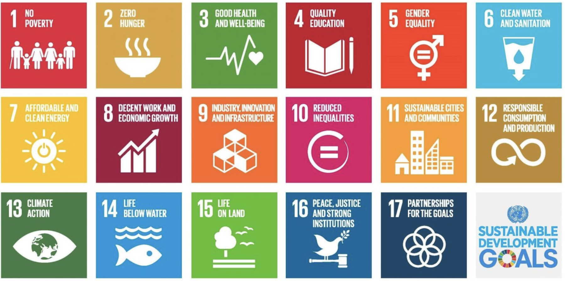
The United Nations Sustainable Development Goals (UN SDGs) are a collection of 17 global goals set by the UN General Assembly in 2015 for the year 2030. They cover a broad base of social, economic and environmental dimensions to improve peoples’ lives and protect the planet for future generations. Around the world, governments, the private sector, non-government organisations and individuals are working towards achieving the goals, as well as monitoring national progress against them.
From ground level data to satellites
Traditionally, monitoring of global goals such as the SDGs is a complex process, requiring intensive ground level data collection, computation and many levels of aggregations. However, in recent years, many development projects have begun to explore the use of satellites to monitor progress against the in UN SDGs. Projects have been developed using satellites to monitor air and water pollution levels, to monitor the growth of refugee camps, population trends, urban development and more. In this way, satellite information can help us to easily, remotely and often cost-efficiently report on changes to UN SDG indicators over time.
However, new programmes, including the UKSA International Partnership Programme (IPP), are going beyond using space technology to monitor the status of UN SDG indicators, and use space technology as a core delivery instrument in sustainable development projects. For an overview of the early results and impacts of IPP see the UK Space Agency’s IPP 3 Year Review.
For example:
- Monitoring tree-cover to predict likely areas of future illegal deforestation to enable authorities to halt deforestation before it happens.
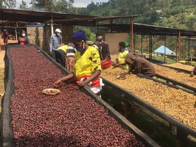
- Monitoring weather, pests and diseases to provide targeted agricultural advice to reduce agro-chemical inputs and improve crop yields.
- Providing small fishers with satellite enabled vessel tracking to improve search and rescue efforts in emergency situations.
- Monitoring and predicting the impacts of natural disasters to allow first responders to better prepare for and respond to emergencies.
- Providing more accurate renewable energy scenario planning tools to enable governments to make the transition away from fossil fuels.
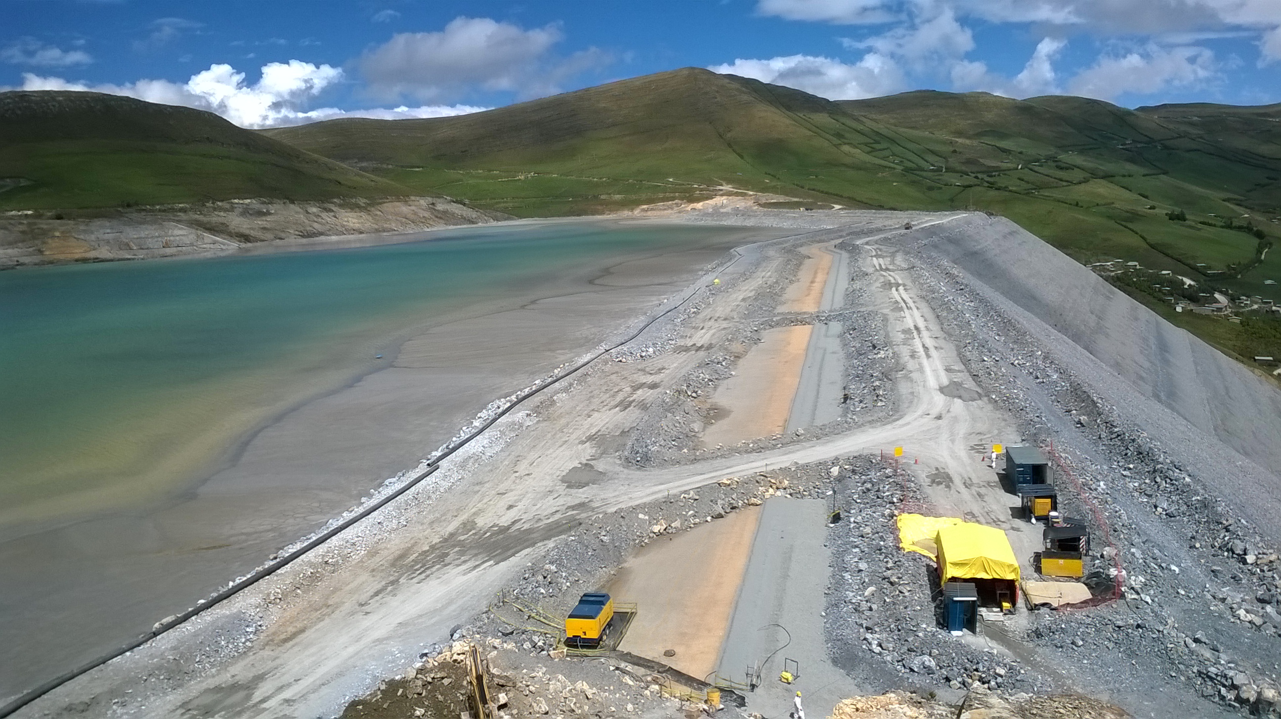
- Monitoring ‘tailings dams’, dams that contain by-products of mining operations to detect abnormal movement and mitigate risk of dam failure.
- Monitoring marine pollution and predicting the dispersal paths of oil spills to allow for more timely, efficient and accurate clean-up efforts.
These initiatives are less focused on passively monitoring the UN SDGs and more focused on proactively contributing towards achieving them. They provide actionable intelligence for stakeholders that enables them to make proactive decisions about resource management in real time.
Monitoring and Evaluation to measure contribution
IPP uses Monitoring and Evaluation (M&E) to answer the question of to what extent a satellite-enabled project is contributing to the SDGs. Projects have an M&E framework that is guided by UN SDG indicators which allows them to report on their contribution to relevant sustainable development targets. Reporting is done through project specific logical frameworks (logframes) which combines information from multiple sources – including satellite enabled data, ground truthing, community surveys, and government statistics – to clearly and effectively communicate project impacts. In these projects, satellite has a mixed role in SDG monitoring.
For example, in agricultural projects, the process of reporting on the productivity of food producers (UN SDG Indicator 2.3.1) is relatively straight forward but doesn’t rely on satellite data to answer the question of how crop yields have changed over time. This indicator has an internationally agreed on computation methodology for data collection and can be collected directly from the farmers and food producers that projects work with.
On the other end of the spectrum, in forestry projects, there is also an agreed methodology for calculating forest area as a proportion of total land area (SDG Indicator 15.1.1), however in this case satellites images are crucial data sources for these calculations (although the challenge of attributing forest change to a particular project is more complicated).
Typically, the reporting of data on these indicators is led by nation states, but increasingly non-state actors such as companies are playing a role and becoming an important actor in SDG monitoring. However, while companies gathering data and reporting on progress of their own contribution is a useful piece of the puzzle, it alone is not enough. Companies still lack effective mechanisms to be able to feed into national and global reporting structures for the UN SDGs. There are initiatives trying to set standards and clear processes for companies to disclose on their sustainability progress like the Global Reporting Initiative and the UN Global Compact, but none include detailed guidance on disclosure for the SDGs. At present, the best practice is for companies to set quantitative targets related to specific SDGs and disclose their activities and results publically.


