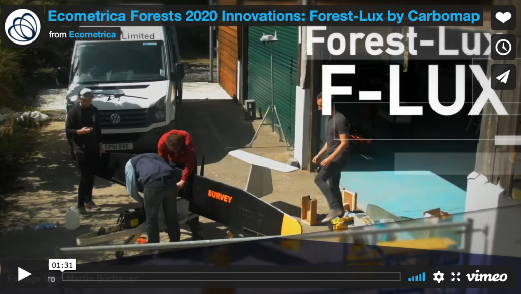
Ecometrica Forests 2020 Innovations: Forest-Lux by Carbomap
Lidar is an optical remote sensing technique that uses laser light to collect highly detailed data about the surface of the earth. Whilst its level of detail is unparalleled, traditionally lidar data has been prohibitively expensive, which is one of the reasons why Forest-Lux by Carbomap is such a breakthrough.
The Carbomap Forest-Lux, or FLUX for short, processes 3-D lidar data from long-range drones in real time to monitor forests with unprecedented detail.
