Deprecated: Function get_page_by_title is deprecated since version 6.2.0! Use WP_Query instead. in
/opt/bitnami/apps/wordpress/htdocs/wp-includes/functions.php on line
6078
Deprecated: Function get_page_by_title is deprecated since version 6.2.0! Use WP_Query instead. in
/opt/bitnami/apps/wordpress/htdocs/wp-includes/functions.php on line
6078
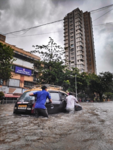
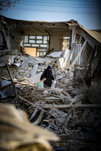
You are here: Home1 / Disasters
https://www.spacefordevelopment.org/wp-content/uploads/2025/06/Caribou_Logo_Primary_White.svg
0
0
externaldev
https://www.spacefordevelopment.org/wp-content/uploads/2025/06/Caribou_Logo_Primary_White.svg
externaldev2025-02-08 10:16:532025-02-08 10:16:55Beyond Borders: Satellite Applications for Humanitarian Emergencies
https://www.spacefordevelopment.org/wp-content/uploads/2025/06/Caribou_Logo_Primary_White.svg
0
0
Caribou Space
https://www.spacefordevelopment.org/wp-content/uploads/2025/06/Caribou_Logo_Primary_White.svg
Caribou Space2021-06-23 07:23:212021-06-23 07:23:23Independent Endline Evaluation of the CommonSensing Project (IPP Project)
https://www.spacefordevelopment.org/wp-content/uploads/2025/06/Caribou_Logo_Primary_White.svg
0
0
Caribou Space
https://www.spacefordevelopment.org/wp-content/uploads/2025/06/Caribou_Logo_Primary_White.svg
Caribou Space2021-05-24 08:00:222021-06-05 05:55:55CommonSensing (IPP Project Case Study)
https://www.spacefordevelopment.org/wp-content/uploads/2020/05/nasa-i9w4Uy1pU-s-unsplash-scaled.jpg
2560
1991
Connor McSharry, UK Space Agency
https://www.spacefordevelopment.org/wp-content/uploads/2025/06/Caribou_Logo_Primary_White.svg
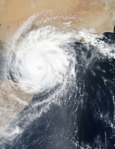
Connor McSharry, UK Space Agency2020-05-07 03:43:372021-06-05 09:39:49Remote [Common] Sensing for Climate Resilience
https://www.spacefordevelopment.org/wp-content/uploads/2020/02/saikiran-kesari-qVULJ6acwe8-unsplash-scaled.jpg
2560
1920
David Taverner, Caribou Space
https://www.spacefordevelopment.org/wp-content/uploads/2025/06/Caribou_Logo_Primary_White.svg
David Taverner, Caribou Space2020-02-13 11:38:412021-06-05 09:42:02METEOR: Modelling Exposure Through Earth Observation Routines
https://www.spacefordevelopment.org/wp-content/uploads/2019/08/moein-rezaalizade-4pc1GpZhJP0-unsplash-scaled.jpg
2560
1707
Nicki McGoh
https://www.spacefordevelopment.org/wp-content/uploads/2025/06/Caribou_Logo_Primary_White.svg
Nicki McGoh2019-08-12 16:19:382021-03-26 20:08:42Using Earth Observation for Disaster Resilience Planning and Policymaking