Ground Motion Maps for Environmental Monitoring (Terra Motion Limited)
www.terramotion.co.uk
Overview
Terra Motion Ltd. uses satellite radar data to provide comprehensive land surface motion monitoring that can be used to assess the health of tropical peatland and also provide geospatial intelligence on issues related to long term environmental land motion including mining, geoenergy, urbanisation and groundwater management. Using our novel ISBAS InSAR technique, anywhere can be remotely monitored without the need for ground control; including remote, forested and urban areas.
Solution benefits
- Provision of information on the status of peatland and how they respond to land use change, management and ecosystem rehabilitation measures.
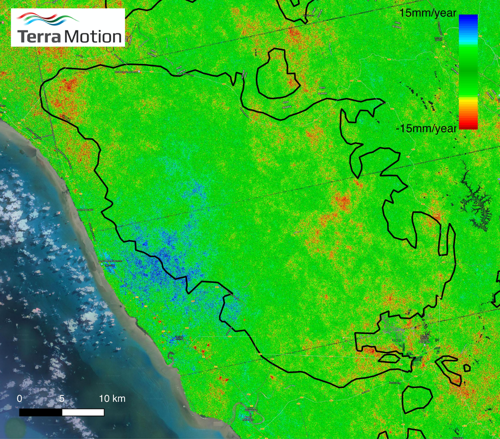
- Provision of wide area full coverage survey maps of precise millimetre rates of land motion i.e. subsidence, uplift and lateral motion.
- Uses satellite Earth observation (EO) and requires no ground-based infrastructure.
- Can be imported as a layer into any GIS software (e.g. ArcGIS and QGIS).
- Underpins more effective allocation and management of public and private sector resources for land/peatland restoration and management.
- Provides a monitoring system to assist in reduction in rates of land motion and greenhouse gas emissions.
Key technical features
- ISBAS utilises Sentinel-1 radar data which is collected routinely every 6-12 days and processed at 20 metre resolution.
- Exploiting the patent pending Intermittent Small Baseline Subset (ISBAS) satellite radar data processing system that uses sequences of radar images to measure subsidence data over tropical peatlands over long periods of time.
- Ability to measure millimetric rates of land subsidence and uplift
- Can be correlated with existing datasets collected in-situ with EO data collected from satellites.
- Provision of average land velocity measurements per pixel, where the pixel resolution/spacing is 20m through the GeoMoves suite of products.
- Provision of time series data per pixel through the GeoDynamics suite of products.
- Provision per pixel periodic monthly updates on surface motion.
Case studies
ISBAS is a key technology solution as part of the PASSES (Peatland Assessment In South East Asia by Satellite) that is working to prove that peatland monitoring is a cost effective way to reduce forest fires, in Indonesia and Malaysia, supported by IPP.
The British Geological Survey have used the technique to monitor rates of surface motion over gas extraction sites in the UK.
The University of Nottingham use the technique to assist in the development of models to measure the health of peatland bogs in Scotland.
Organisation overview
Terra Motion provide satellite data-based ground motion surveys for environmental safety and security. Our surveys provide very precise rates of ground motion over large areas.
These surveys can be used to give early warnings regarding land subsidence benefitting a range of industries including land & property, infrastructure owners and operators, utilities, geoenergy government and regulators and environmental management.

