Forest and Wild Fire Monitoring (eOsphere)
www.eosphere.co.uk
Overview
eOsphere satellite ground receiving stations have been installed in countries worldwide (including Malaysia, Vietnam, Indonesia, Greece, Mongolia and Cuba) to allow government agencies to detect and monitor forest and wild fires using medium resolution thermal infrared and visible satellite data in near real time. As well as detecting and monitoring fires, the product also detects burn scar area, smoke, aerosol and air quality, volcanic eruptions and ash.
Solution benefits
- Forest and wildfires can be detected and monitored in near real time.
- With multiple satellites, multiple overpasses each day from each satellite and wide satellite ground swaths, forest and wild fires can be detected over large areas and monitored many times each day.
- As well as detecting and monitoring fires the product also detects burn scar area, smoke, aerosol and air quality, volcanic eruptions and ash.
Key technical features
- Using the short wave and thermal infrared channels on polar orbiting meteorological satellites such as EOS Terra & Aqua and Suomi- NPP & NOAA 20.
- The eOsphere satellite ground station typically includes a 2.4 to 3.0 metre tracking antenna with X-band (or dual X-/L-band) front end, satellites receivers, high specification ingest and processing systems for automated scheduling, real-time reception, ingestion and processing of the direct broadcast downlinks from the EOS Terra & Aqua (MODIS), Suomi-NPP & NOAA-20 (VIIRS), NOAA & MetOp (AVHRR) meteorological satellites
- The satellites used are all free-to-air (i.e. no licensing costs), providing the multiple medium resolution (250 metre to 1 kilometre), visible, near-, shortwave- and thermal-infrared imaging radiometre channels required for routinely detecting forest and wild fires.
- Typically, four to six satellite overpasses per day from four satellites, with swath widths of between 2,300km and 3,000km, are used to detect and monitor fires multiple times every day within ~3,000km of the satellite ground station.
- Forest and wild fire products include maps of radiative power, burn scar, aerosol concentrations, smoke / ash and textual information of the detected fires in text, Shapefile and other GIS formats.
- Is used to deliver many other medium resolution environment products including cloud mask, type and optical properties, vegetation indices, aerosols, atmospheric vertical profiles, land and sea surface temperature, land use classification, snow and sea ice and ocean colour.
- The solution is a complete standalone automated end-to-end system from scheduling for reception of satellite overpasses to delivery of forest and wild fire detection products to geospatial databases and web-sites.
- The solution includes a fully featured visualisation system for display of satellite imagery and products, along with tools for re-projection,re-sampling, aggregation, re-formatting and delivery of products.
- eOsphere offers a complete solution including requirements specification, delivery, installation and commissioning of all equipment, full integration with end-user’s infrastructure, training and ongoing maintenance and support. The user does not need existing or additional IT infrastructure.
Case studies
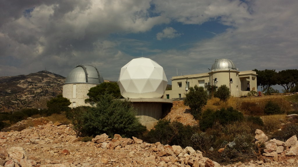
National Observatory of Athens (NOA), Athens, Greece – as part of the EU Project BEYOND: Building a Centre of Excellence for Earth Observation Based Monitoring of Natural Disasters, in 2014. The system is now used as part of the European Forest Fire Information System (EFFIS), a component of the Copernicus Emergency Management Service Risk and Recovery Mapping, routinely delivering forest fire products covering Central and Eastern Europe, the Mediterranean, Middle East and North Africa to the EFFIS system.
Supplied to the Centre for Multidisciplinary Integrated Technologies for Field Monitoring (FIMO) at the University of Engineering and Technology (UET), Vietnam National University (VNU), Hanoi, Vietnam, in 2014. FIMO is a university teaching and research department specialising in field monitoring techniques, including remote sensing, with particular emphasis on forest fire and air pollution monitoring, as part of the national disaster monitoring system.
Organisation overview
eOsphere was established in 2001 and is strongly focused on solving real remote sensing problems for a range of customers and end users. Key application areas include the provision of affordable satellite ground receiving stations for environmental and hazard monitoring.
